QGIS & ArcGIS
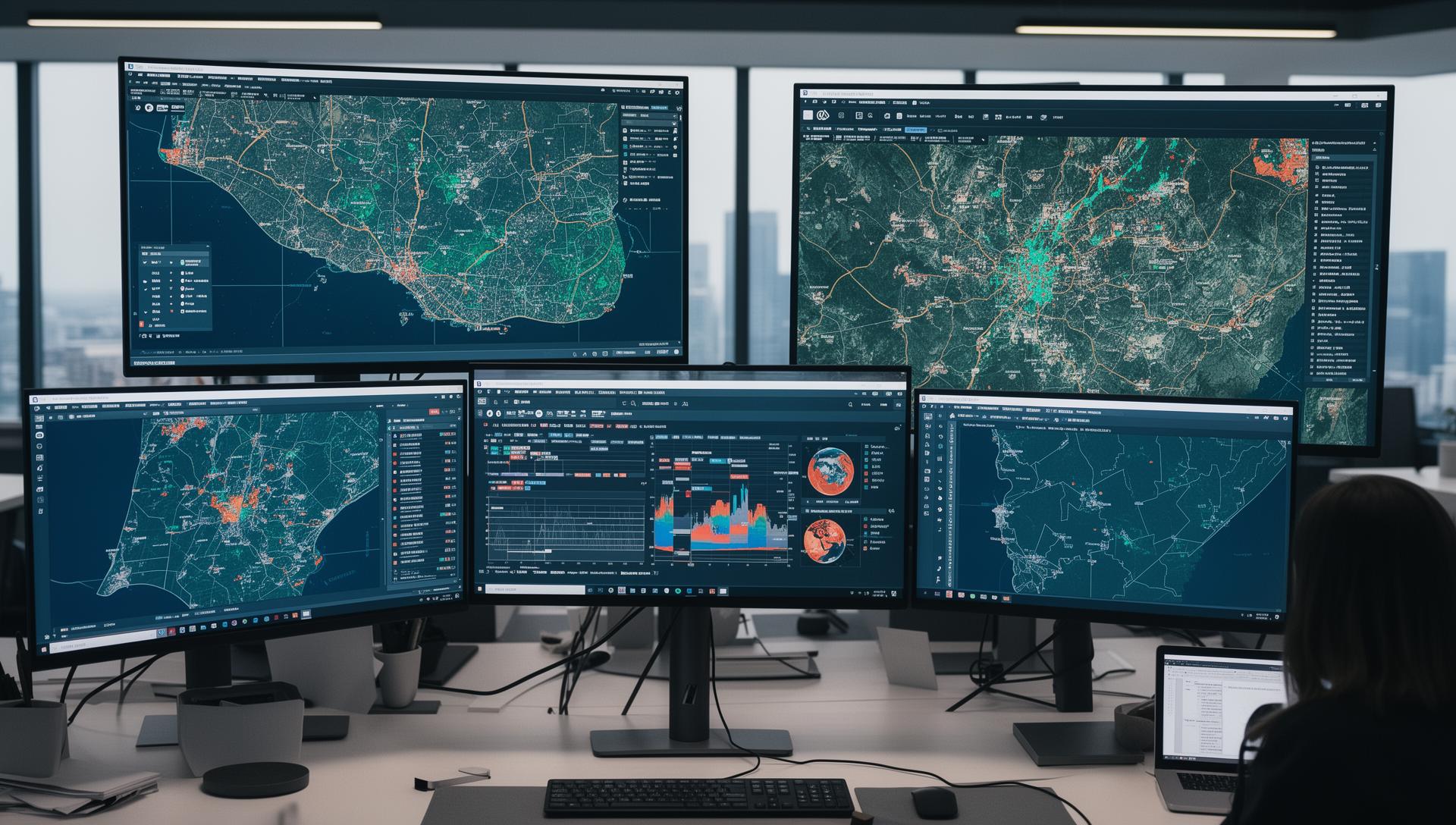
Build confidence with GIS tools, map layers and the workflows behind a useful map.
Practical geospatial training for professionals, teams and organisations in Malawi. Tell us what you want to learn, and we’ll help you choose a suitable programme.
What you can learn
Explore our core training topics. Programme content can be discussed around your experience and the work your team needs to do.
Build confidence with GIS tools, map layers and the workflows behind a useful map.
Explore satellite imagery and how it helps you understand land use and environmental change.
Work with location data to identify patterns and support better decisions.
Organise geospatial information so it is easier to maintain, query and use.
Learn the principles of publishing maps and sharing geospatial information online.
Government, NGOs, agriculture, urban planning and environmental organisations.
Discuss your needsShare your preferred topic, experience level, number of participants and ideal dates. We’ll discuss availability, delivery format and fees with you.
Ask about the next intakeDates and fees are confirmed directly with Geoking before booking.